
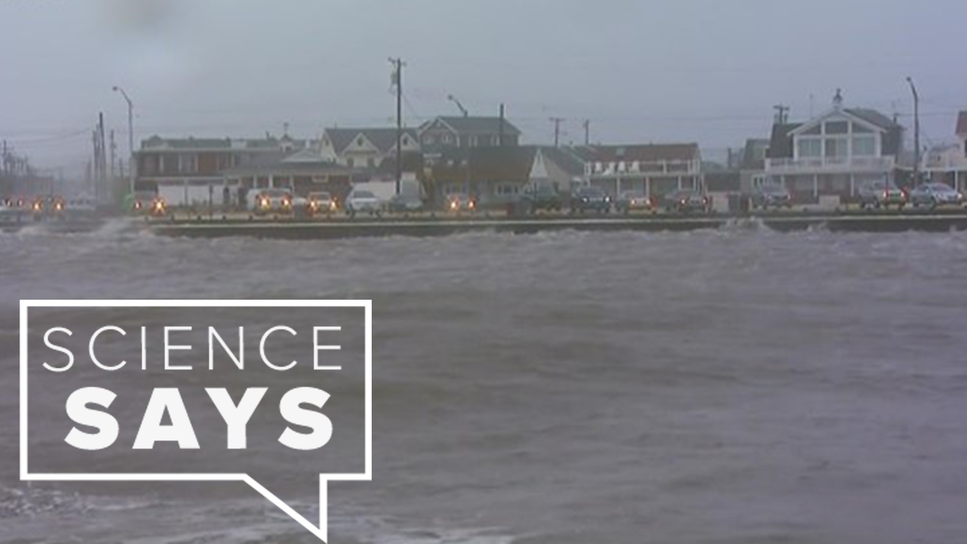
MOLINE, Ill. — This past weekend the East Coast was affected by a nor’easter. They get their name because of the wind direction that blows around the low-pressure system comes from the northeast.
A nor’easter is common from September to April. These weather systems form in between the latitudes of Georgia and New Jersey, 32.165 ﹾ N and 40.0583ﹾ N, within 100 miles of the East Coast. They move in a northeastward direction attaining maximum intensity near New England and the Maritime Provinces of Canada. Nor’easters can produce rain, snow, blizzards, string winds, rough seas, and flooding.
The East Coast is prime location for nor’easters due to their location to the Atlantic Ocean, wind direction, and jet stream. The jet stream pushes cold artic air southward from Canada collides with the warm air from the Gulf of Mexico moving northward. The Atlantic Ocean plays a part in it because of the gulf stream which is a current of warm water flowing from the Gulf of Mexico.
The gulf stream allows the ocean waters to stay mild during the winter which helps warm the cold air above it. The differences in temperatures between the ocean and cold air creates nor’easters. Once they are formed, they move up the East Coast.


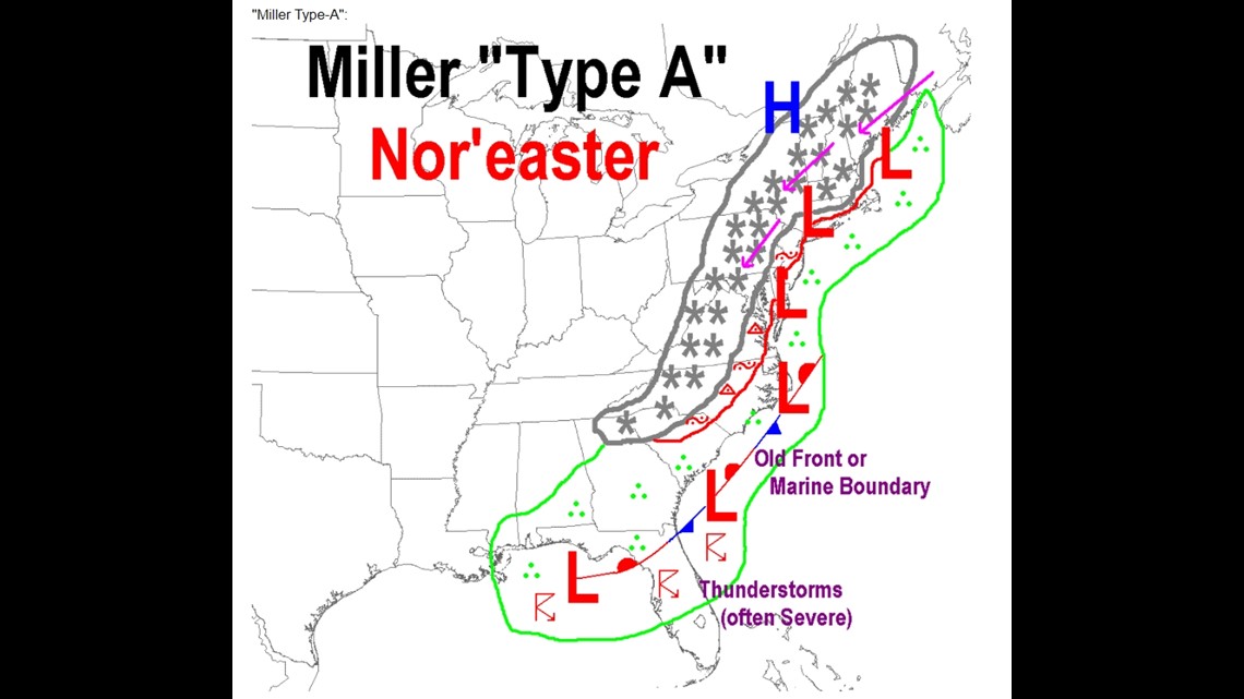
There are two types of nor’easters which are Miller Type-A and Miller Type-B. The types are named after J.E. Miller who discovered both in 1946.
Miller Type-A is the most common nor‘easter. They form in Georgia and South Carolina or as far south as the Gulf of Mexico. They develop into nor’easter as they move along the east coast.
Miller Type-B nor’ easters form a low-pressure system in the Midwest causing rain, snow, or sleet then they diminish after crossing the Appalachian Mountains the system is then reformed or creates new low-pressure system from there and starts to move northward along the East Coast. These are the type of nor’easters that affect us here in the Quad Cities, causing snow.
In the diagrams below, the gray stars represent snow. The green with the three dots represent rain. The red 'R' represents thunderstorms. The red triangle with a dot in the middle represents sleet. The curved red line with a dot represents freezing rain.
gray = snow, red = sleet or freezing rain, green = rain


Nor’easter vs Hurricanes
Nor’easters and hurricanes are similar in the fact that form over the Atlantic, they are cyclones that spirals around a low pressure, and both cause precipitation.
Their differences are hurricanes forming over warm waters further south near the equator where a nor’easter forms north near Georgia. Hurricanes need warm air to form and strengthen whereas nor’easters need cold air to grow and strengthen. Also, the time of year they occur are different.

