
MOLINE, Ill — Good Morning, Quad Cities!
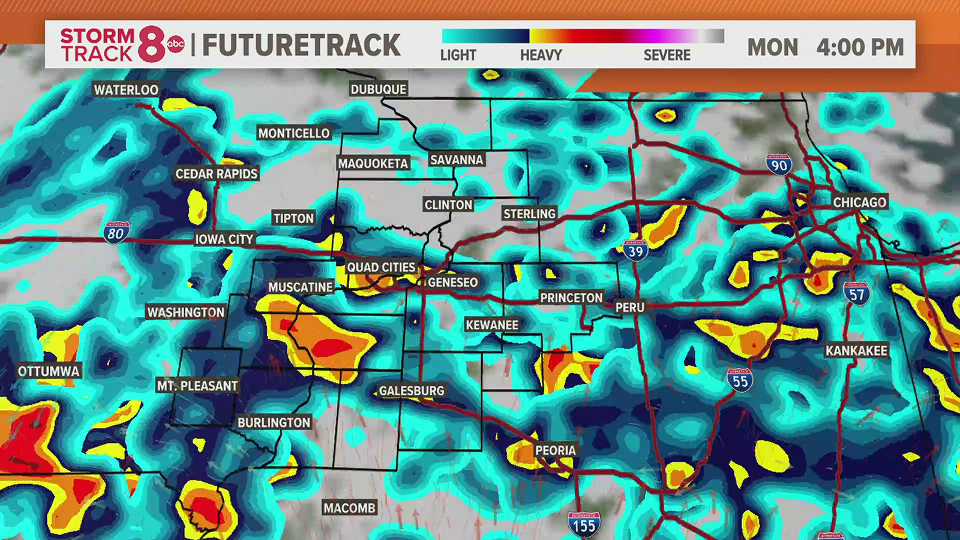
A quiet and mild start to our Monday is underway. So far, we are staying dry but, that is expected to change as we progress through the day. Rain and a few thunderstorms will become more common as we near the late morning and early afternoon hours. No severe weather is expected today. Locally heavy rainfall will be possible with some hometowns exceeding an inch of rain by later tonight. A southwest breeze will get highs today back into the lower 70s.
Rain and a few rumbles this evening will transition to showers for the remainder of the overnight hours. Lows will drop into the upper 50s.
Showers will continue through Tuesday morning with the coverage becoming less during the day. Cooler temperatures are expected with all the clouds as highs reach the lower 60s.
Dry skies return Wednesday with a very pleasant afternoon expected. Temperatures will be back in the middle to upper 70s.
Another round of rain and a few thunderstorms is expected Thursday followed by dry skies for the end of the week. Temperatures will remain warm, in the 70s and lower 80s through Friday.
Meteorologist Andrew Stutzke


Follow the StormTrack8 weather team on social media: