
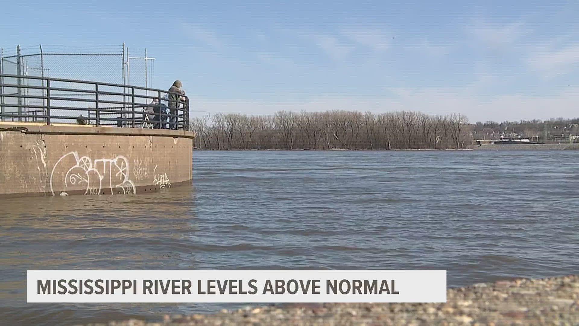
MOLINE, Ill. — The National Weather Service in the Quad Cities says the Mississippi River in Rock Island will likely surpass flood stage of 15 feet before the end of April as snowfall to the north begins to rapidly melt in the coming weeks.
This factor along with rainfall in the next several weeks will determine just how far above flood stage the Mississippi River actually reaches.
The latest prediction still calls for a continued well-above-average risk of flooding on the Mississippi River through the end of May, with a more than 60% probability of the river reaching major flood stage at some point between now and the end of June.


As of early April, more than a foot of snow remains on the ground in the upper Mississippi River water basin throughout parts of Minnesota. Minneapolis has had its seasonal snowfall rank in the top ten snowiest winters on record for the region, further increasing the threat of flooding depending on how quickly all of that snow melts. The amount of water contained in that snowpack is shown in the graphic below.

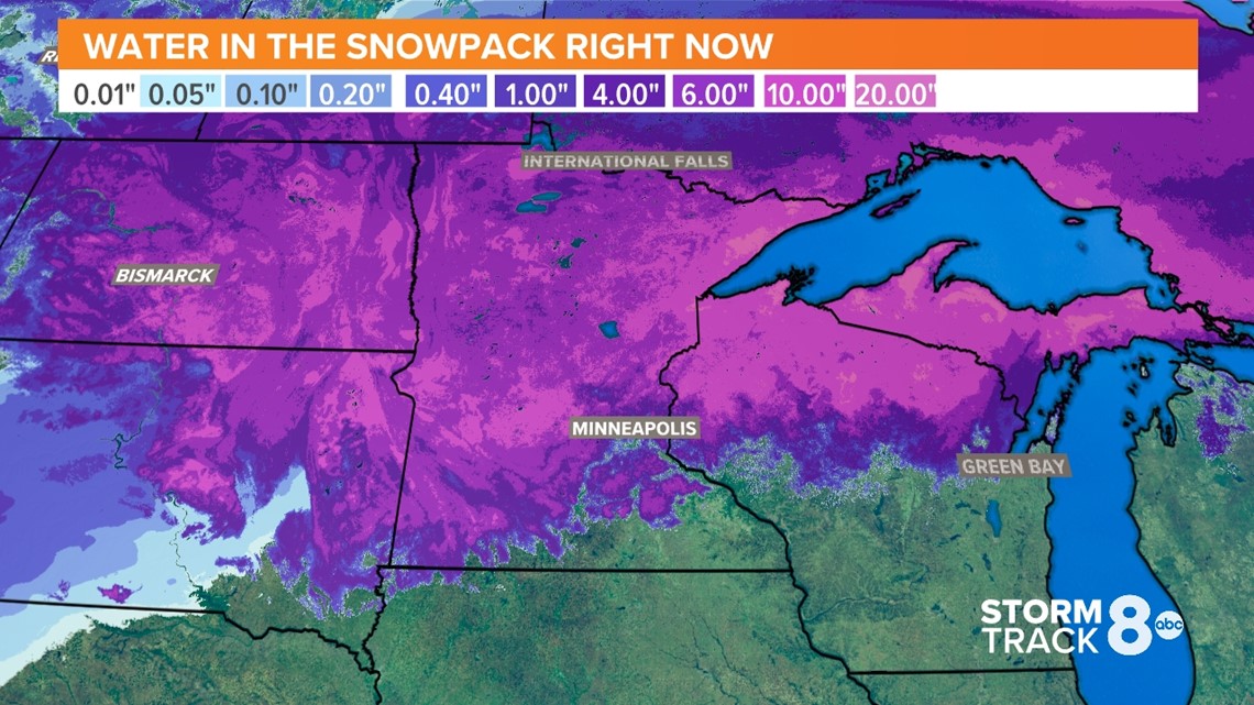
You can see, there is anywhere from an inch to several inches worth of liquid water still contained in the snowpack that will quickly run into the river basin once it melts. Much of the region is also seeing higher soil moisture content compared to normal, further enhancing the threat that most of it will run off into the surrounding rivers.


The temperature pattern for the next two weeks through the end of April supports well above-normal temperatures, including our first round of 80s here in the Quad Cities by April 13th. That kind of warmth, while somewhat trending cooler as it hits the snowpack to the north, will likely rapidly melt what is on the ground, especially with the warmer overnight temperatures expected. The rate of this melt and again any new rainfall will play a critical role in how high the river rises by the end of April.
Smaller rivers are still near normal for flood risk. Most of the snowmelt in the areas that feed into those small rivers will be gone over the next few days, so all the snowmelt will be only of concern for the Mississippi River.
Scott County Emergency Management Agency (EMA) is encouraging all residents not to delay flood preparations and to stay aware of changing river levels. For county residents living outside of city limits, sand, and sandbags are available at the Pleasant Valley Fire Station.
Additional updates to the flood outlook from the U.S. National Weather Service are expected again next week.
Watch more news, weather and sports on News 8's YouTube channel