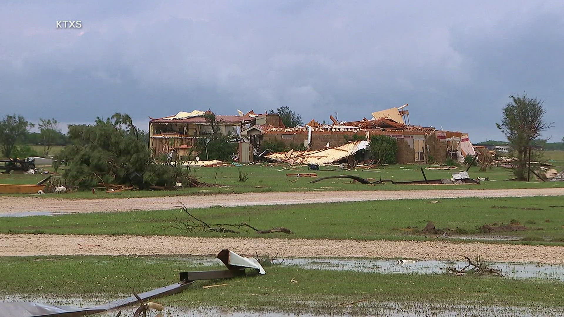
Thunderstorms are set to move through the News 8 viewing region this weekend, April 26-28. There is a possibility of some severe weather, but the risk for the area remains low, according to the National Weather Service Quad Cities.
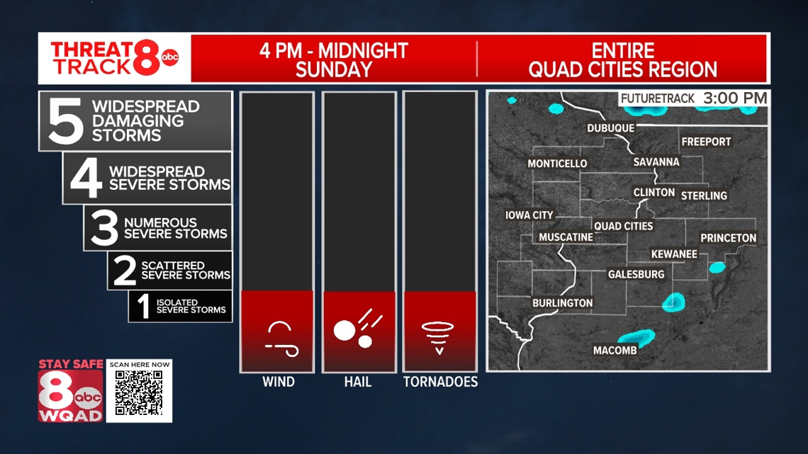
Sunday severe weather outlook

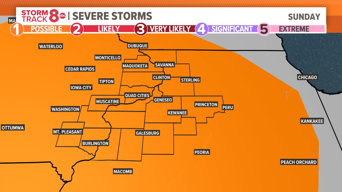
For Sunday, widespread rain and a few thunderstorms will likely limit the risk for additional severe weather in the afternoon, with scattered storms expected and only an isolated risk for severe storms. The Storm Prediction Center has the entire Quad Cities region in a Threat Track Level 1 / 5 risk for severe storms. Hail and damaging wind gusts will be the primary threats for the later afternoon and evening.

In total, many of our hometowns will likely experience 1 to 3 inches of rain before the last of the raindrops take place Monday morning.
Additional thunderstorms will be likely Tuesday, Wednesday, and Thursday of this week. At this time, the threat of additional severe storms appears low. We'll keep tracking it!
Need tips on how to stay safe during severe weather? Check out the National Weather Service's Severe Weather Safety Guidelines here.
Stay weather aware by downloading the Storm Track 8 mobile app to get live weather alerts sent straight to your phone.
Follow the StormTrack8 weather team on social media:
Watch more news, weather and sports on News 8's YouTube channel