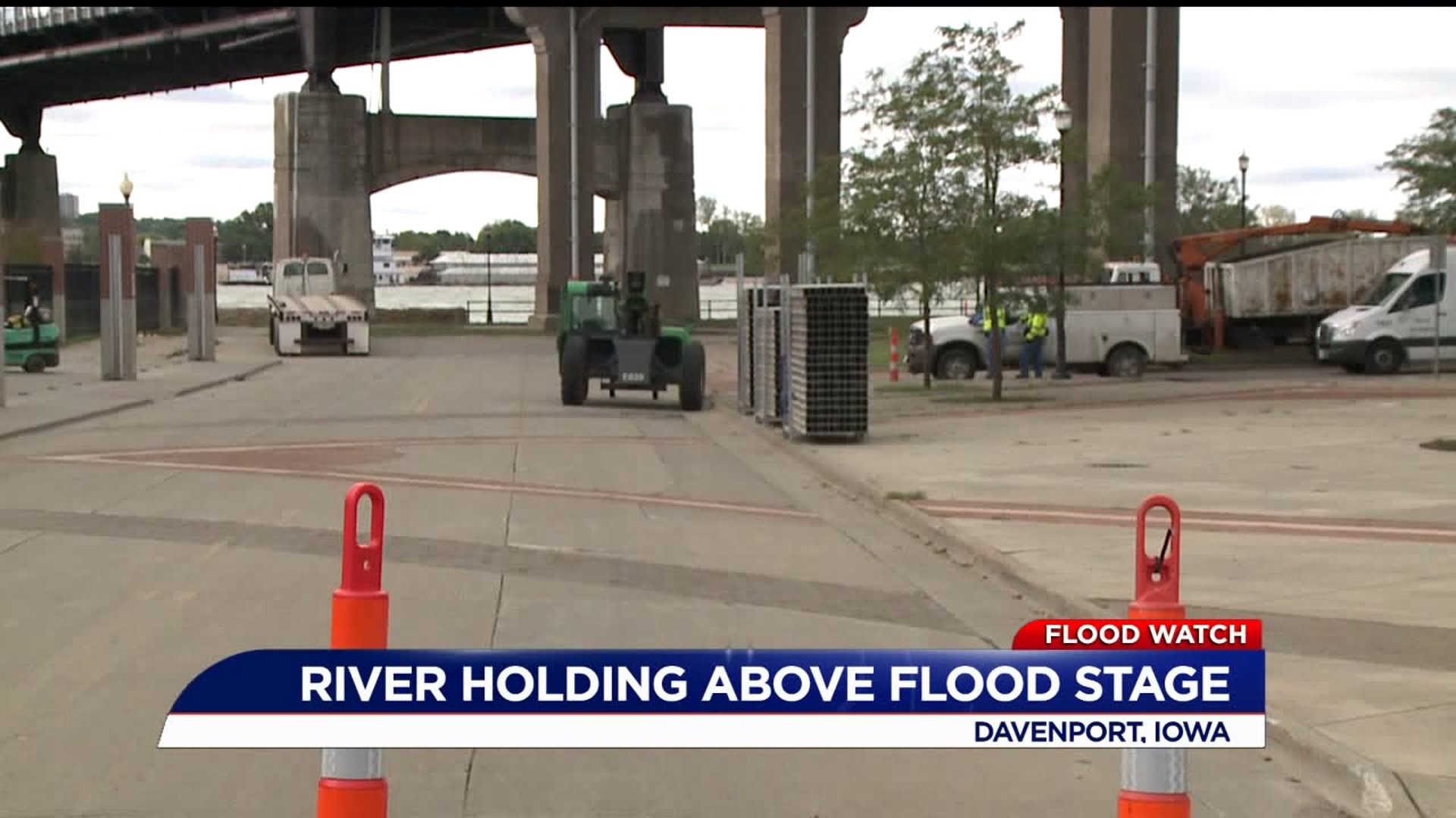
DAVENPORT, Iowa- The city has issued a new statement on there flood plans, and there are several changes of note.
The Mississippi River is forecast to crest at 17.1 feet on Saturday. At predicted river levels with rain in the forecast, it is possible portions of River Drive will be closed due to water over the road. The HESCO barriers ARE NOT being installed at this level. Drivers may want to avoid River Drive. A detour will be in place if closures are required. Many riverfront locations will be accessible using north/south streets. A detour route map is available at https://cityofdavenportiowa.com/UserFiles/Servers/Server_6481372/File/Departments/Public%20Works/Flood%20Detour%20Oct3.pdf
In a press release the city says that after cresting on Saturday, the river is currently forecast to hover around 17 feet. The river may recede a little further and re-rise late next week or early the week of Oct. 14. The next flood update is expected on Monday.
Following is a summary of flood-related actions taken by the City:
Roads
- South Concord Street is currently closed between River Drive and Utah Avenue.
- Gaines Street is closed south of River Drive.
- Portions of Beiderbecke Drive and Marquette Street Landing will be affected over the weekend.
- If the river reaches predicted levels, additional closures and lane reduction may be placed along River Drive.
Recreation
- Credit Island and the recreational trail between Marquette Street and Credit Island is closed.
- The riverfront walk between LeClaire Park and Marquette is closed.
- The dock at Marquette Street Landing is in place; however, it is unusable due to the river level.
Facilities
- The flood wall at Modern Woodmen Park has been set to protect the park at predicted river levels.
- The River’s Edge, Freight House Farmer’s Market, and Modern Woodmen Park will remain open for business.
- The Compost Facility is accessible by taking Rockingham Rd/Hwy 22 to Wapello to Railroad Ave.
Other measures
Pumps have or will be set, and appropriate gates have or will be closed in various low-lying areas of the city.
Sandbags are available to those affected by predicted river levels. Call public works at 563.326.7923 or submit a request online at https://yourgov.cartegraph.com/ to receive information on the location where sandbags can be picked up.
Please be reminded not to drink floodwater or to play, wade, walk, bike, or drive through floodwater. Floodwater can carry unseen hazards such as debris and bacteria.