x
Breaking News
More () »

Illinois Democrats to redraw political maps using census

Legiaslators say that they will be returning to Springfield to re-draw discrict maps now that 2020 census data has been released.
Credit: AP
FILE - In this May 29, 2021, file photo, Illinois House Republican Leader Jim Durkin, R-Western Springs, joins Illinois House and Senate Republicans outside Illinois Gov. J.B. Pritzker's office to urge him to veto the redrawn Illinois legislative maps at the Illinois State Capitol in Springfield, Ill. Illinois Democrats said Friday, Aug. 20, 2021, the Legislature will return to Springfield to redraw political districts that will be used for legislative elections over the next decade, this time using data from the 2020 census. (Justin L. Fowler/The State Journal-Register via AP, File)

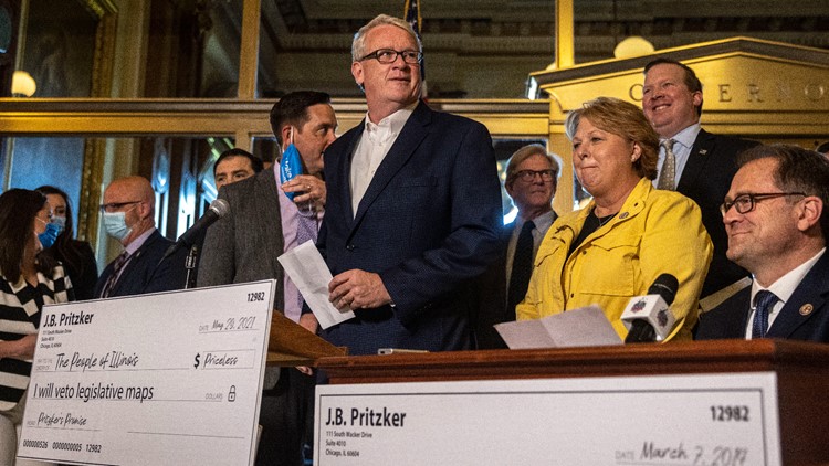
SPRINGFIELD, Ill. — Illinois Democrats say the Legislature will return to Springfield to redraw political districts that will be used for legislative elections over the next decade, this time using data from the 2020 census. 

The announcement came as Republicans said census data released last week show the maps that majority Democrats approved and Gov. J.B. Pritzker signed earlier this year amounted to an unconstitutional power grab.

Democrats used population estimates, not the actual census, to draw the boundaries — a move that prompted lawsuits from GOP leaders and a leading Latino civil rights organization.

Before You Leave, Check This Out